
Anúncios
Measuring land accurately has never been easier thanks to modern technology and innovative mobile applications designed specifically for this purpose.


Whether you’re a landowner, real estate professional, farmer, surveyor, or simply someone curious about property dimensions, terrain measurement apps have revolutionized how we calculate land area. Gone are the days when you needed expensive equipment or professional surveyors for basic measurements.
These innovative applications leverage GPS technology, satellite imagery, and sophisticated algorithms to provide remarkably accurate measurements right from your smartphone. Let’s explore everything you need to know about terrain measuring apps and how they can simplify your land measurement tasks.
📱 What Exactly Is a Terrain Measurement App?
A terrain measurement app is a mobile application that utilizes your smartphone’s GPS capabilities to calculate the area, perimeter, and distance of land parcels. These apps transform your device into a portable surveying tool that fits comfortably in your pocket.
The technology works by tracking your movement as you walk around the boundaries of a property. The app records GPS coordinates at multiple points, then uses mathematical algorithms to calculate the enclosed area. Most modern apps also integrate satellite imagery, allowing you to measure land remotely without physically walking the perimeter.
The accuracy of these applications has improved dramatically in recent years. While they may not replace professional land surveys for legal purposes, they provide sufficient precision for most practical applications, including preliminary assessments, agricultural planning, and property evaluation.
🌾 Why Farmers and Agricultural Professionals Love These Apps
The agricultural sector has embraced terrain measurement apps enthusiastically, and for good reason. Farmers need to know exact field dimensions for crop planning, irrigation system design, fertilizer application, and yield estimation.
Traditional measurement methods were time-consuming and often imprecise. Walking fields with measuring wheels or hiring surveyors represented significant investments in time and money. Terrain measurement apps have democratized this process, making accurate field measurement accessible to farmers of all scales.
Modern agricultural apps often include additional features tailored specifically for farming needs:
- Multiple field tracking for diverse crop rotations
- Historical data storage for season-to-season comparisons
- Integration with precision agriculture systems
- Soil type mapping and zone management
- Yield prediction based on field area
- Equipment path planning for optimal efficiency
These capabilities transform a simple measurement tool into a comprehensive farm management assistant. Farmers can make data-driven decisions about seed quantities, chemical applications, and harvest logistics with unprecedented precision.
🏡 Real Estate Professionals Gain a Competitive Edge
For real estate agents, property developers, and land brokers, terrain measurement apps provide immediate value during property viewings and client consultations. Being able to quickly verify lot sizes, calculate usable space, and assess property dimensions builds credibility and accelerates decision-making processes.
Imagine showing a property to a potential buyer and instantly answering questions about exact dimensions, buildable area, and boundary locations. This level of responsiveness creates a professional impression and helps clients feel confident in their investment decisions.
Real estate professionals use these apps for various purposes:
- Verifying property listings against actual measurements
- Identifying discrepancies in property descriptions
- Calculating potential development capacity
- Assessing setback requirements and building envelopes
- Documenting property features for marketing materials
- Providing quick estimates during site visits
The ability to generate professional measurement reports directly from your smartphone streamlines workflows and reduces dependency on external surveyors for preliminary assessments.

🎯 Key Features to Look For in a Quality Measurement App
Not all terrain measurement apps are created equal. When selecting an application for your needs, certain features distinguish exceptional tools from mediocre alternatives.
GPS Accuracy Enhancement: The best apps utilize multiple positioning systems including GPS, GLONASS, Galileo, and BeiDou for improved accuracy. They also implement algorithms that filter out signal noise and correct for common GPS errors.
Multiple Measurement Methods: Quality apps offer flexibility in how you measure. You should be able to walk boundaries, tap points on satellite imagery, or manually enter coordinates depending on your situation and preference.
Unit Flexibility: Professional apps support numerous measurement units including acres, hectares, square meters, square feet, and more. Seamless conversion between units saves time and prevents calculation errors.
Data Export Options: The ability to export measurements as PDF reports, KML files, or spreadsheet data ensures your information integrates with other professional tools and documentation systems.
Offline Functionality: Since many properties lack reliable internet connectivity, offline capabilities are essential. The best apps download map data for offline use and store measurements locally until connectivity returns.
Project Organization: Managing multiple properties or fields requires robust organizational features including naming conventions, categorization, and searchable archives of past measurements.
🛰️ Understanding GPS Accuracy and Limitations
While GPS technology has become remarkably sophisticated, understanding its limitations helps you use terrain measurement apps more effectively and interpret results appropriately.
Consumer-grade GPS receivers in smartphones typically achieve accuracy within 3-10 meters under optimal conditions. Factors affecting accuracy include satellite visibility, atmospheric conditions, multipath interference from buildings or trees, and the quality of your device’s GPS hardware.
For larger properties spanning several acres or hectares, these accuracy margins represent minimal percentage errors. However, for small urban lots or precise boundary determinations, these limitations become more significant.
To maximize GPS accuracy when using measurement apps:
- Ensure clear sky visibility by avoiding dense tree cover when possible
- Allow the GPS to fully initialize before beginning measurements
- Move at a steady, moderate pace around perimeters
- Hold your device steadily rather than swinging it while walking
- Take multiple measurements and average results for critical applications
- Use satellite imagery measurement for inaccessible or overgrown areas
Understanding these factors helps you achieve optimal results and recognize situations where professional surveying remains necessary.
💡 Practical Applications Beyond Property Measurement
The versatility of terrain measurement apps extends far beyond basic property size calculations. Creative users have discovered numerous applications across various industries and activities.
Landscape and Garden Planning: Homeowners and landscape designers use these apps to calculate lawn areas for seed or sod purchases, design garden beds, plan irrigation coverage, and estimate material quantities for hardscaping projects.
Construction Site Management: Contractors measure excavation areas, calculate material coverage needs, track project zones, and document site conditions. The visual documentation combined with precise measurements proves invaluable for project planning and change order justification.
Environmental Conservation: Researchers and conservationists measure habitat areas, track deforestation or reforestation progress, plan restoration projects, and monitor protected areas. The accessibility of measurement technology enables more frequent monitoring with limited resources.
Outdoor Recreation: Hikers and outdoor enthusiasts measure trail distances, calculate camping area sizes, plan adventure races, and document their exploration achievements. The combination of measurement and mapping features enhances the outdoor experience.
Solar Panel Installation: Solar contractors quickly assess roof areas, calculate panel capacity, identify optimal placement zones, and provide accurate installation estimates. Speed and accuracy in preliminary assessments improve customer service and conversion rates.
📊 Comparing Manual vs. Satellite-Based Measurement Methods
Most advanced terrain measurement apps offer two primary measurement approaches: manual perimeter walking and satellite imagery-based point plotting. Each method has distinct advantages depending on your specific situation.
Manual Walking Method: This approach involves physically walking the property boundaries while the app tracks your GPS position. It provides excellent accuracy for accessible properties and gives you firsthand familiarity with the terrain features, obstacles, and conditions.
The walking method works best when boundaries are clear, the property is accessible, weather conditions are favorable, and you have time to physically traverse the entire perimeter. It’s particularly effective for irregular shapes and properties with natural boundaries.
Satellite Imagery Method: This technique allows you to measure properties remotely by tapping points on satellite or aerial imagery. It’s ideal for inaccessible properties, preliminary research, large-scale projects, or situations where physical access is limited or prohibited.
The imagery method excels when properties are overgrown, boundaries are visible from aerial perspective, you need quick preliminary measurements, or physical access involves significant time or expense. However, accuracy depends heavily on image resolution and how clearly boundaries appear in the imagery.
Professional users often employ both methods: satellite imagery for initial assessment and planning, followed by walking verification for final measurements and ground-truthing.
🔒 Privacy and Data Security Considerations
When using terrain measurement apps, especially for commercial or sensitive properties, understanding data privacy and security becomes essential. Your measurements often contain valuable information about property characteristics, ownership patterns, and commercial intentions.
Reputable apps should clearly communicate their data handling practices, including what information is collected, how it’s stored, whether it’s shared with third parties, and how long it’s retained. Look for apps with transparent privacy policies and robust security measures.
Consider these privacy-related factors when selecting an app:
- Does the app function offline without transmitting your location continuously?
- Can you store data locally rather than exclusively in cloud services?
- Are measurements encrypted during storage and transmission?
- Does the app require unnecessary permissions unrelated to measurement functions?
- Can you delete your data permanently from the service?
- Is your personal information shared with advertisers or data brokers?
For sensitive commercial applications, some professionals prefer apps that offer enterprise features including dedicated servers, enhanced encryption, and contractual data protection agreements.
⚖️ Legal Considerations and When to Hire Professional Surveyors
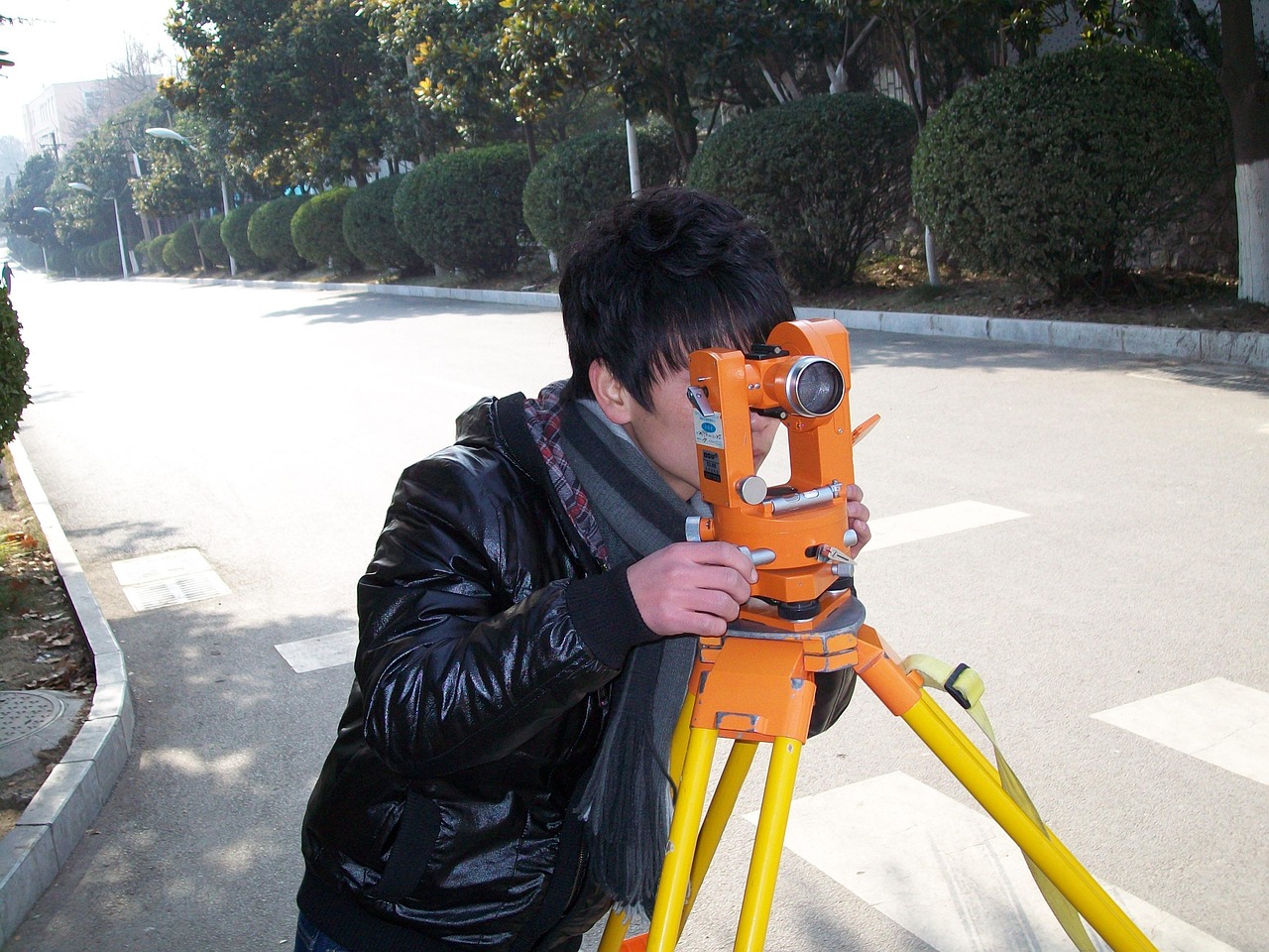
While terrain measurement apps provide excellent utility for planning and preliminary assessment, it’s crucial to understand their legal limitations. For official purposes involving property transactions, boundary disputes, or legal documentation, professional land surveys remain necessary.
Professional surveyors use precision equipment with centimeter-level accuracy, understand legal boundary descriptions and property law, maintain professional liability insurance, and provide legally defensible documentation. Their work establishes legally recognized property boundaries that apps cannot replicate.
Use terrain measurement apps for:
- Preliminary property assessments before purchasing professional surveys
- Agricultural and farm management applications
- General planning and estimation purposes
- Personal projects and hobby applications
- Quick verification of approximate dimensions
- Internal business planning and development concepts
Hire professional surveyors for:
- Property purchase or sale transactions
- Boundary dispute resolution
- Legal descriptions for deeds and titles
- Subdivision and development approvals
- Mortgage and title insurance requirements
- Construction projects requiring precise engineering data
The most cost-effective approach often combines both: use apps for preliminary work and decision-making, then invest in professional surveys when legal precision becomes necessary.
🚀 Future Developments in Land Measurement Technology
The evolution of terrain measurement apps continues accelerating as smartphone hardware improves and software algorithms become more sophisticated. Several emerging technologies promise to enhance measurement capabilities significantly.
Augmented Reality Integration: Next-generation apps will overlay measurement data directly onto your camera view, visualizing boundaries, dimensions, and property information in real-time as you look at the landscape. This intuitive interface will make measurements more accessible to non-technical users.
Drone Integration: Some apps are beginning to integrate with consumer drones, combining aerial imagery capture with automated measurement processing. This approach delivers professional-quality results at consumer prices, particularly for large or complex properties.
Artificial Intelligence Enhancement: AI algorithms will automatically identify property boundaries from satellite imagery, distinguish between different land use zones, detect changes over time, and suggest optimal measurement points. Machine learning will continuously improve accuracy based on verification data.
Multi-Device Collaboration: Future apps will enable real-time collaboration among team members using multiple devices simultaneously, coordinating complex measurements, and combining data from various sources into unified project documentation.
Advanced Sensor Fusion: Combining GPS with accelerometer, gyroscope, magnetometer, and barometer data creates more accurate positioning, especially in challenging environments where GPS signals are compromised. This sensor fusion technology continues improving with each smartphone generation.
✨ Maximizing Value From Your Terrain Measurement App
Getting the most from your measurement app requires more than simply downloading and opening it. Developing systematic practices and understanding advanced features multiplies its utility and accuracy.
Start by thoroughly exploring all features rather than limiting yourself to basic measurements. Many apps include capabilities like distance measurement between points, elevation tracking, compass integration, and coordinate recording that provide additional value beyond simple area calculation.
Develop consistent naming and organizational conventions for your measurements. Whether you organize by date, location, client, or project type, systematic organization transforms your app from a measurement tool into a valuable database of historical information.
Regularly calibrate your expectations against known measurements. Measure properties with documented dimensions to understand your app’s accuracy patterns in different conditions. This calibration helps you interpret results more reliably and identify when conditions may be affecting accuracy.
Take advantage of export features to integrate measurements with other professional tools. Whether you’re importing data into CAD software, creating client reports, or maintaining project archives, seamless data flow enhances productivity.
Finally, keep your app updated. Developers continuously improve algorithms, expand feature sets, and optimize performance. Regular updates ensure you benefit from these enhancements and maintain compatibility with evolving smartphone operating systems.
🌟 Making the Right Choice for Your Needs
Selecting the perfect terrain measurement app depends on your specific requirements, frequency of use, and professional context. Free apps work wonderfully for occasional personal use, while professionals benefit from investing in premium applications with advanced features and dedicated support.
Consider starting with well-reviewed free versions to understand basic functionality and determine whether measurement apps meet your needs. If you find yourself using the app regularly and wishing for additional capabilities, upgrading to premium versions delivers significant value relative to their modest cost.
Read recent user reviews to understand real-world performance, common issues, and developer responsiveness. Apps with active development, regular updates, and engaged user communities generally provide better long-term value than abandoned or poorly maintained alternatives.
The investment in learning to use a quality terrain measurement app properly pays dividends through time savings, improved accuracy, and enhanced professional capabilities. Whether you’re managing agricultural operations, conducting real estate transactions, planning construction projects, or simply satisfying curiosity about property dimensions, these remarkable tools put surveying power literally in your hands.
Modern technology has democratized land measurement, making capabilities once reserved for specialized professionals accessible to anyone with a smartphone. By understanding how these apps work, recognizing their strengths and limitations, and applying them appropriately, you can accomplish tasks that would have required significant time and expense just a few years ago. The terrain measurement app represents one of those rare technological advances that delivers practical value across numerous applications while remaining remarkably simple to use.